About Us
Introducing


Our Value
The best aerial mapping experience on the market
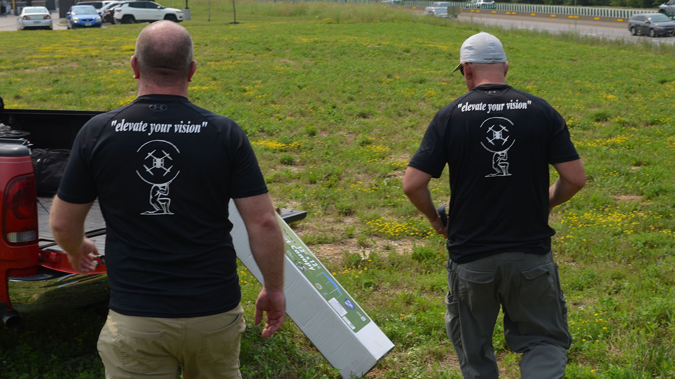
“elevate your vision”
- Vision
To be the premier aerial mapping service company.
- Mission
We want to be your aerial mapping service provider. We strive to deliver a quality product on time, every time.
- Why Choose Us
Over 30 years combined experience, deep understanding of industry concepts, well versed in several industry software packages, and Survey Grade Accuracy. Stop waiting on Field Data, and deliver your product as promised. Nothing kills profits, and repeat business like not meeting contractual deadlines.

Jerry Stringer, Co-Owner
FAA Certified part 107 sUAS Pilot
Mr. Jerry Stringer Jr has over 25 years of construction and surveying experience. With 3 years of electrical, hydraulic, and robotics background that propels him to the front in technology fields. He has overseen many projects from notice to proceed to closing of POs. These projects range from treatment plants, roadway, clearing, and development projects. With experience as a surveyor crew chief, he is well experienced in design surveying and including several related softwares. For example, Trimble Business Center, Inpho UAS Master, Blue Marble Global Mapper, and Agisoft Metashape to name a few.

Gabe DuBois, Co-Owner
St. Louis University – B.S. Physics
ITT Technical Institute – Computer Aided Design & Drafting
FAA Certified Part 107 sUAS Pilot
Mr. Gabe DuBois has 25 years of Surveying and Civil Engineering experience. This experience has made Gabe well versed in surveying, engineering, land development and geospatial science. Gabe has worked as a Project Manager and Director of Engineering throughout his 25-year career. He has seen countless projects from concept design through to ribbon cutting. He is proficient in Civil 3D, Trimble Business Center, Inpho UAS Master, Blue Marble Global Mapper, Agisoft Metashape, Hydraflow Hydrographs, Bentley WaterCAD and HEC-RAS.
