efficiency is key.
Don’t miss another deadline!
Atlas Aerial Solutions!
“elevate your vision”
Introducing
Atlas aerial solutions
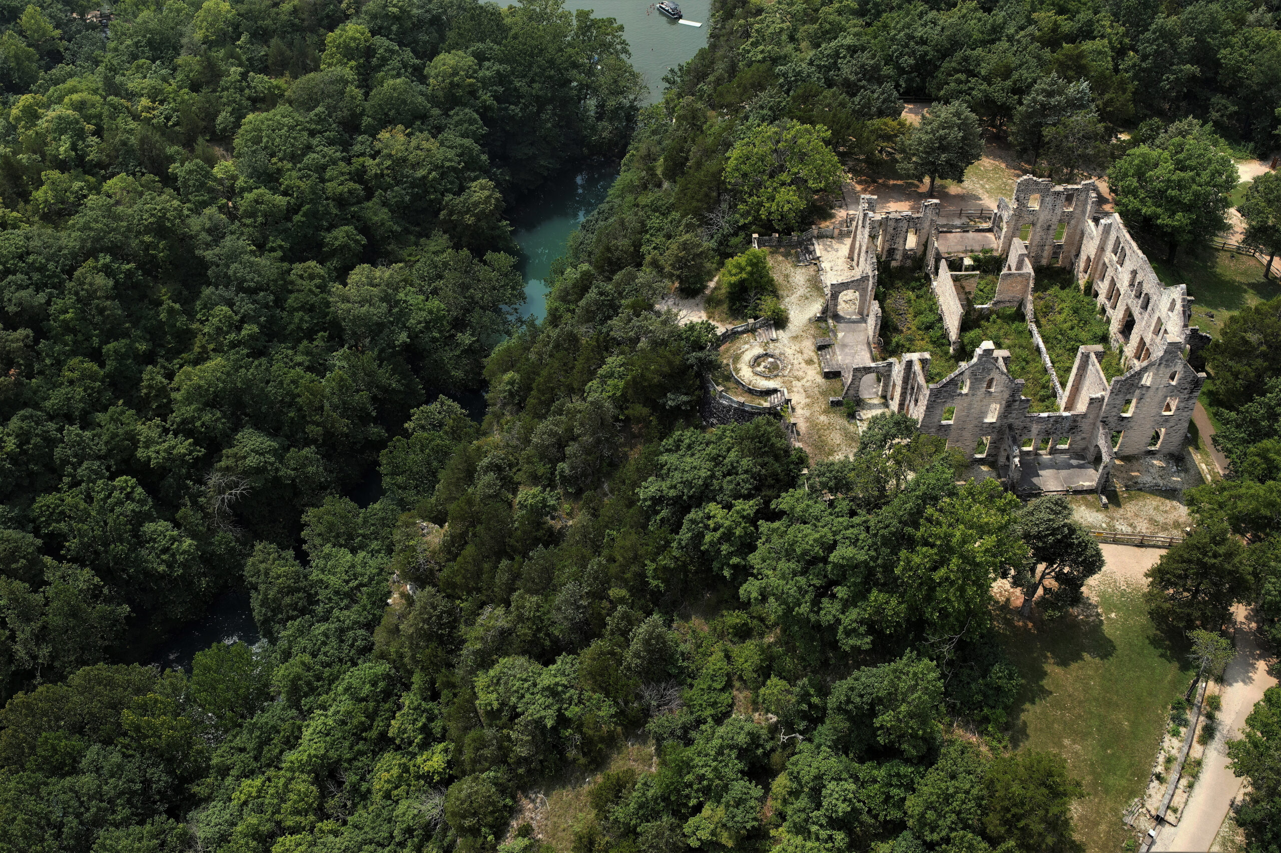
Stop waiting for your survey. Every flight is an opportunity to elevate your business to the next level. Incorporating aerial surveying in your workflow increases point density & efficiency.
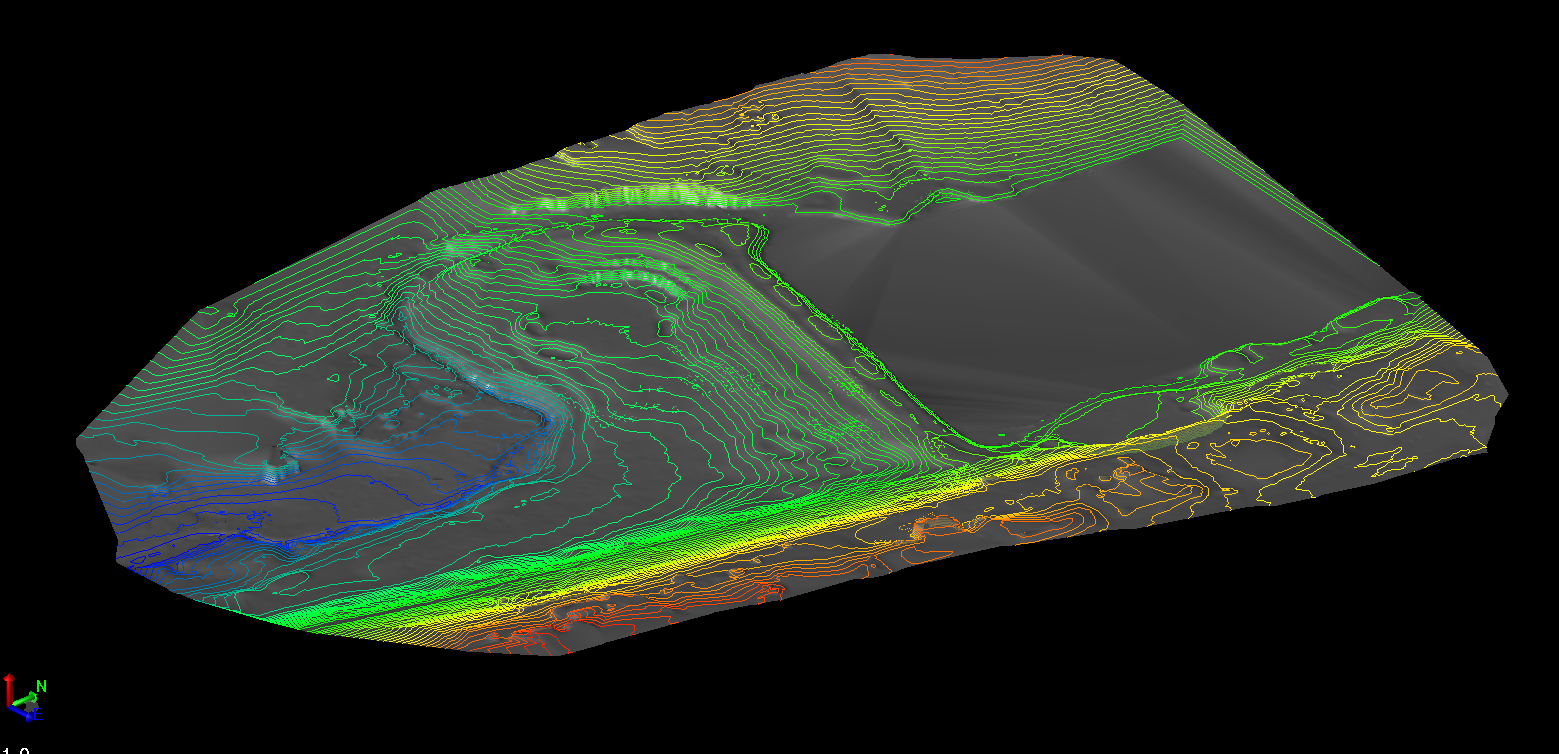
Aerial surveying will reduce project time and increase employee safety, especially on large areas and in difficult or unreachable terrain. LiDAR and photogrammetry reduces man-hours in the field allowing your terrestrial surveyor to move on to the next site.
Meet or exceed your project timelines and don’t just compete, dominate.
DELIVERING DIGITAL JOY TO THE WORLD, ONE 3D MODEL AT A TIME
What We Offer
Professional Services
Aerial Survey & Mapping
LiDAR, Photogrammetry, Mesh Models, Orthomosaic Mapping, Site Monitoring

Why Choose Us
Over 30 years combined experience, deep understanding of industry concepts, well versed in several industry software packages, and Survey Grade Accuracy. Stop waiting on Field Data, and deliver your product as promised. Nothing kills profits, and repeat business like not meeting contractual deadlines.
FAA Licensed Pilots with 1000s of Hours Experience


